Point Moore Coastal Processes
Point Moore is an iconic part of Geraldton. Approximately 1.5kms of beaches wrap around the peninsula and easily are accessible by vehicles at three locations along Marine Terrace.
The coastline at Point Moore is dynamic, the beaches are subject to seasonal and multi-year accretion (build up) and erosion patterns. While this is recognised and accepted, multiple factors can exacerbate the rate of erosion. This is especially evident on the sandy beaches and dunes at Point Moore.
Social expectations about mitigating the impacts of climate change induced erosion and inundation, caring for the environment, and perceptions of safety on the beaches are also changing.
More on coastal adaptation planning here
Shoreline Retreat
Shoreline retreat, or coastal erosion, is the loss of land due to the net removal of sediments from the coastal zone. At Point Moore dune volume and vegetation is currently being lost, as well as infrastructure installed to define and manage access to the coast. Ongoing loss of dunes not only impacts flora and fauna, it also reduces the resilience of the local coastal ecosystem to recover from inundation and storm surges.
Vegetation Lines
Historical vegetation lines are also a good indicator for long term changes to shoreline movements. The last 'natural' beach line was in 1965, before the groyne at Pages Beach was installed in 1967, resulting in the northern and western accretion.

A Dynamic Shoreline
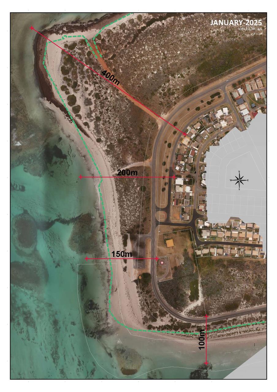
To demonstrate how dynamic the Point Moore shoreline is, aerial photos of the area will be taken at monthly intervals and displayed against a base line photo taken in January 2021.
| January 2021 |
January 2025 |
 |
 |
Aerial Images Library